


Hjul sø
Linå
Lundbjærg
Mollerup
Skjellerup
Engedalen
Grønbækgården
Hårupgård
Kjælling vide
Laven
Laven hovgård
Linå skov
Svejbæk
Bjarup
Bjaruplund ved Silkeborg
Hårup ved Silkeborg
Linå mark
Linå ved Silkeborg
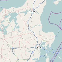
Mollerup Linå Silkeborg
Mollerup ved Silkeborg
Skjellerup-Nygårde ved Silkeborg
Linå mark
DS_03_0_01875
DS_03_0_01876